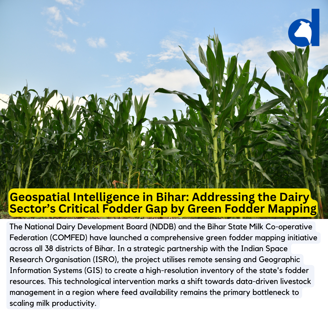
The National Dairy Development Board (NDDB) and the Bihar State Milk Cooperative Federation (COMFED) have launched a comprehensive green fodder mapping initiative across all 38 districts of Bihar. In a strategic partnership with the Indian Space Research Organisation (ISRO), the project utilises remote sensing and Geographic Information Systems (GIS) to create a high-resolution inventory of the state’s fodder resources. This technological intervention marks a shift towards data-driven livestock management in a region where feed availability remains the primary bottleneck to scaling milk productivity.
Structural Shift in Feed Management
The significance of this mapping exercise lies in its ability to solve the “blind spot” in Bihar’s dairy value chain. Feed and fodder currently account for approximately 70% of the total cost of milk production. While Bihar is a significant milk producer, it has historically struggled with a fragmented supply of green nutrients, leading to over-reliance on expensive concentrated feeds.
By using ISRO’s satellite imagery, the study will:
- Identify specific acreages under fodder cultivation.
- Classify fodder varieties and evaluate their nutritional density.
- Assess the impact of irrigation and soil health on crop yields.
- Identify “fodder-deficit” clusters where cooperative intervention is most needed.
Market Relevance and Investor Impact
For dairy processors and the Sudha brand (under COMFED), this data is a strategic asset. Reliable green fodder availability is directly correlated with higher Solids-Not-Fat (SNF) and fat content in milk, which in turn dictate procurement pricing and product quality. For investors and equipment manufacturers, this mapping signals a coming demand for:
- Silage Technology: Mapping will identify surplus areas where silage (fermented, high-moisture stored fodder) can be produced and transported to deficit regions.
- Seed Logistics: Companies specialising in high-yielding fodder seeds (such as Berseem or Maize) can use this data to target specific districts for retail expansion.
- Hydroponics: In land-constrained areas identified through GIS, there is a clear entry point for hydroponic “green machine” startups.
The India Perspective: A National Blueprint
Bihar’s move follows a broader national trend where the National Digital Livestock Mission (NDLM) is integrating “Pashu Aadhaar” (digital animal IDs) with resource mapping. Compared to states like Punjab or Gujarat, where fodder markets are more mature, Bihar’s digitisation efforts could leapfrog traditional development stages. If successful, this model will likely be exported to other fodder-stressed states, such as Uttar Pradesh and Rajasthan, to mitigate the estimated 12% to 15% national deficit in green fodder.
Strategic Takeaway
The deployment of ISRO’s geospatial tools is not merely a scientific exercise; it is an economic de-risking strategy for the Bihar dairy sector. By stabilising the “input side” of the equation, the state aims to lower production costs at the farm gate, making Bihar’s milk more competitive in the national market. Stakeholders should monitor the subsequent rollout of “Fodder Banks” that will inevitably follow this data gathering.